Best Land Survey & Digital Mapping Service
Bhumi Survey & Engineering is a DELHI-based company established with core competence in Geographical Information Systems, Engineering design solutions, Topographical surveys, DGPS & Total Station solutions, and lidar solutions. Training, Data Processing. Best Land Survey company.
Accurate Survey
The survey is being conducted. This includes the goals and objectives, such as gathering opinions, assessing needs, or measuring satisfactio.
Best Service
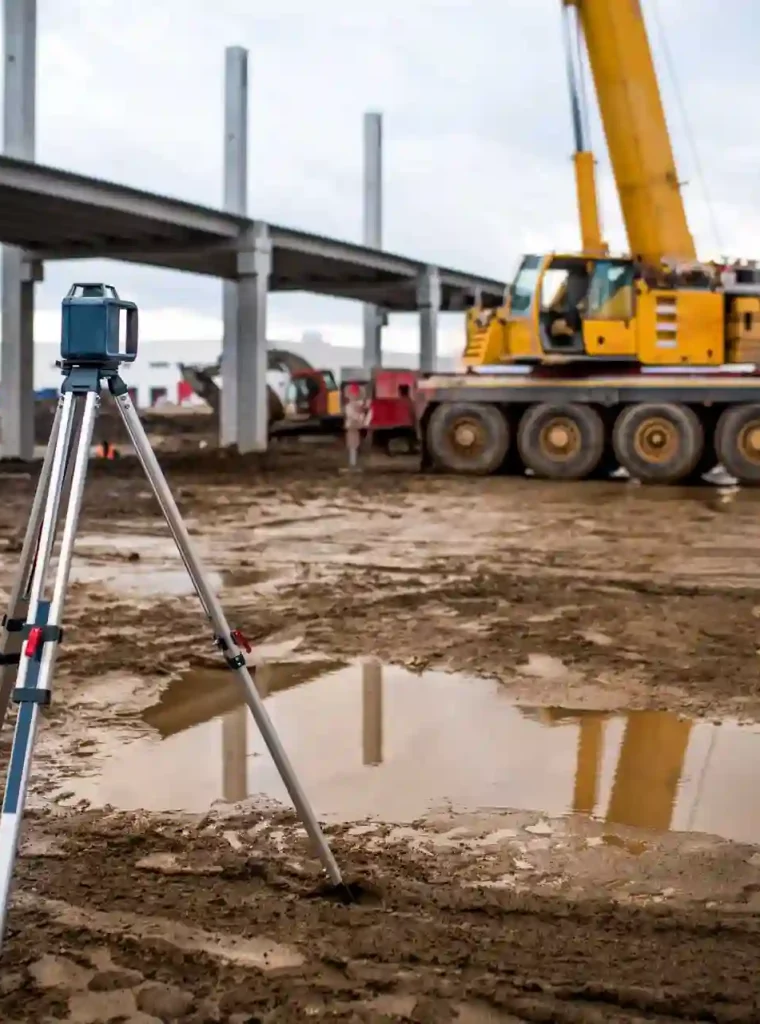
Topographic surveys, consider LiDAR surveys for detailed 3D mapping, geodetic surveys for high-precision measurements etc.
About Bhumi Survey & Engineering
We Provide Best Land Survey & Digital Mapping Services
Ground Pentrating Radar survey & other GIS-related
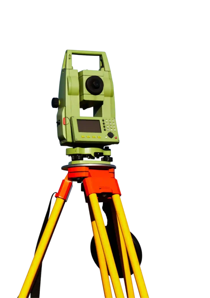
surveys and Geotechnical Investigation. The Company specializes in Executing various types of Soil investigations and survey using modern instruments like Total station, DGPS, GPR, Aerial
Drone, etc., in the Power Sectors, Irrigations, Roads, Rail, Mines, services for Municipality, Health, and Urban planning sectors In developing solutions
and services,
- Best Quality Service
- Affordable Pricing
Who We Are
We Are Experts In Land Survey & Digital Mapping Company
Bhumi Survey & Engineering has been guided by the vision of combining the power of GIS and the flexibility afforded by information technology with the blend of the Internet to develop utility-based
solutions to customers. Bhumi Survey & Engineering are professionals who are adverse in their various technical, managerial, and administrative fields to
ensure that the project is executed to obtain the best result catering to the client’s requirements.
- Quantity Surveying & Cost managemen
- Structural Consultancy
- Land Survey & Mapping Services
- Geo Technical Engineering
- Project Management Consultancy
- Soil Testing
Our Services
What Service We Provide
“QS, Quantity Surveying, Project Management Consultancy, PMC, Contract, Tendering, Project Planning, Quality Audit, Structural, MEP QS Consultant, Land Survey, Topographic survey, As-built survey, TS, DGPS, GPR, Drone, LiDAR – Surveyor, Geo technical, Soil Testing, BOQ, estimation firm”

Land and Engineering Survey

Dgps & total Station Survey.

Aerial & Mobile Lidar Survey

Aerial Drone Survey.

Cad and Gis Survey.

Contour Survey & Grid Survey.

Structural Design Quantity Surveying & Cost Management

Project Management Consultancy.

Soil & Geo Technical Engineering.

Plumbing, Fire Fighting Electrical & HVAC Design.

NDT Test,Core Cutting, Lab Testing.

Transmission Line Survey.
DGPS &LIDAR SURVEY
- GPS Mapping: Accurate land mapping using satellite technology.
- Topography & Contour Survey (GPS): Elevation & slope mapping for construction and irrigation.
- RTK Survey: Real-time, centimeter-level accuracy for engineering projects.
- Static Ground Point Using Dgps.
- Baseline Survey: Establishing reference lines for precise project measurements.
- Triangulation Survey: Large-scale mapping through a network of triangles.
Best Land Survey Company in Patna, Bihar
Bhumi Survey & Engineering established with core competence in the areas of Geographical Information System
The Perfect Solution For Land Survey Service
- Quantity Surveying & Cost management
- Project Management Consultancy
- Land Survey & Mapping Services
- Geo Technical Engineering
- Soil Testing
- Address: J38H+M6H, Ram Nagari, Rukanpura, Patna, Bihar 800025
- Mon - Sun : 9:00 am - 6:30 pm
- 92880 36361
Our Process
Four Steps to Get Our Services

Make Appointment

We Check The Location
Start Land Survey

Survey Completed
Who Partners
Outstanding Reviews
Our Professional Team Works Hard To Fit Your Needs By Integrating The Latest Technologies In Your Startups.


Our Prestigeous Client
